5 Ways LiDAR Technology Is Changing The World
If you’re like most people, you’ve never heard of the light radar technology LiDAR. But that doesn’t mean it’s not already changing your life in significant ways. Sure, it may not be as sexy as 3D printing, augmented reality, or autonomous vehicles, but it actually plays a critical role in all three technologies. It’s under the hood, but also poised to revolutionize how we travel, build things, and even see the world.
What Exactly Is LiDAR Technology?
If you know what radar and sonar are, you’ve got the basics of LiDAR. It works in much the same way, but with light instead of radio or sound waves. Essentially, a machine emits a series of small lasers (usually in the green or near infrared parts of the light spectrum) and measures how long it takes for them to come back.
Depending on the type of LiDAR, this can get a bit more complicated. So why would we use LiDAR if we already have radar and sonar available? Put simply, LiDAR can do a lot of things those other technologies just can’t.
Here are 5 things that only LiDAR can do:
LiDAR for Augmented Reality
You’re probably wondering what on earth LiDAR could possibly have to do with augmented reality. In essence, a LiDAR scanner provides ultra-detailed 3D mapping, which allows other augmented reality systems to then overlay their own data on top of a precise and reliable map.
Simply being able to see what’s around you with your smartphone isn’t the same as having a complete 3D map of the area. A LiDAR created point cloud scanner hugely increases the accuracy of augmented reality experiences. It could even be a step on the way to a full blown 3D user interface. Think less like a basic 3D model and more like the film Minority Report.
LiDAR for Autonomous Cars and Drones
It’s not exaggeration to say that LiDAR-based 3D scanning is absolutely essential for autonomous vehicles of all kinds. Spatial awareness is at the core of autonomous vehicle technology. These vehicles need to know what is around them at all times in order to avoid collisions. This data needs to be extremely precise (down to the millimeter), updated constantly, and be acquired without using a lot of energy.
All of these requirements make LiDAR perfect. While basic optical sensors are already making an appearance in cars for uses like lane assist (to keep drivers from drifting into another lane) and collision avoidance, the full range of possibility with LiDAR technology is much greater.
LiDAR to Fight Climate Change (From Space)
Sure, LiDAR systems can be installed on anything from cars to airplanes, but they also have uses in space. Right now, just such a system is being installed by NASA on the International Space Station (ISS) to combat climate change. This system is precise enough to detect the tops of trees, meaning it will be used to measure the earth’s vegetation with a level of accuracy that’s never been seen before.
How does that combat climate change? Simple: these LiDAR maps will provide scientists with even more detailed knowledge of vegetation cycles across the planet. Because trees and other plants are known to store carbon, this gives those scientists a better idea of how those plants are affecting global carbon levels. When scientists know where that vegetation is being destroyed, they can push for policies to help save it. More accurate knowledge here also means climate prediction models are more accurate and useful.
LiDAR for Surveying
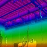
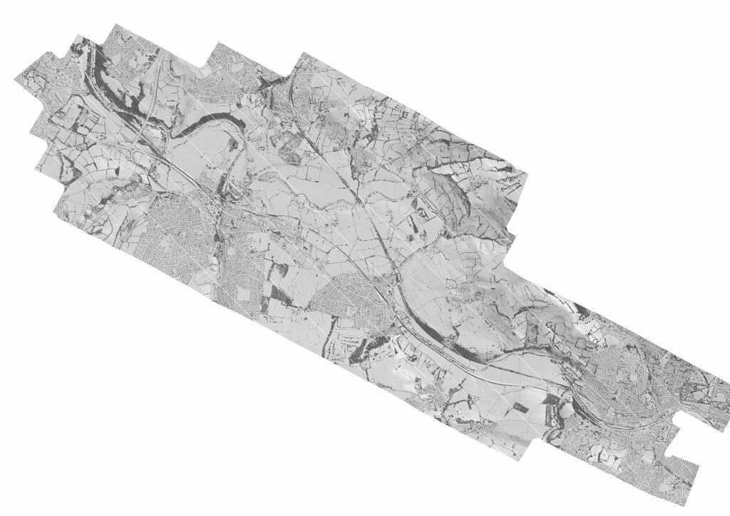
This is one of the areas where LiDAR mapping has the greatest number of potential applications. For example, if you’re concerned about flooding, a LiDAR survey can show you precisely which areas would be flooded by a specified rise in water levels. That means you can prepare more intelligently.
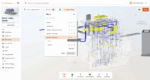
For all kinds of construction and engineering fields, the applications are also enormous. Using LiDAR mapping to create extremely detailed spatial maps before designing or building a structure means fewer errors or surprises and greater cost savings. In addition, this allows professionals using AEC technologies to access these models and use them easily when they’re needed.
LiDAR for Archeology
In one of its most unexpected applications, LiDAR archeology is transforming that field. What used to take months of trekking through deep jungle now can be done in a matter of days with LiDAR equipped aircraft. That’s just what happened when a husband-and-wife team created stunning 3D images of an ancient Mayan city using LiDAR data.
Combine that information with the augmented reality applications above and the architects of tomorrow may have a very different knowledge of ancient civilizations.
The Future of LiDAR Technology
These are only some of the potential applications. As this technology becomes cheaper and more available, no doubt people around the world will continue to find fascinating new applications for it. How would you like to use LiDAR?